(TITC) – The year 2024 marks a series of important events in Dien Bien Province, especially the Visit Vietnam Year - Dien Bien 2024. Let’s explore a number of spots that visitors can pay a visit to get to know about this heroic land of Vietnam.
Dien Bien is a mountainous province in the northwest of Vietnam, with mountainous terrain and a system of rivers and streams. Dien Bien is about 450 km from Ha Noi, borders Son La and Lai Chau, shares borders with China and Laos. Dien Bien consists of administrative units including Dien Bien Phu City - the provincial capital, Muong Lay Town and 8 districts.
Dien Bien weather
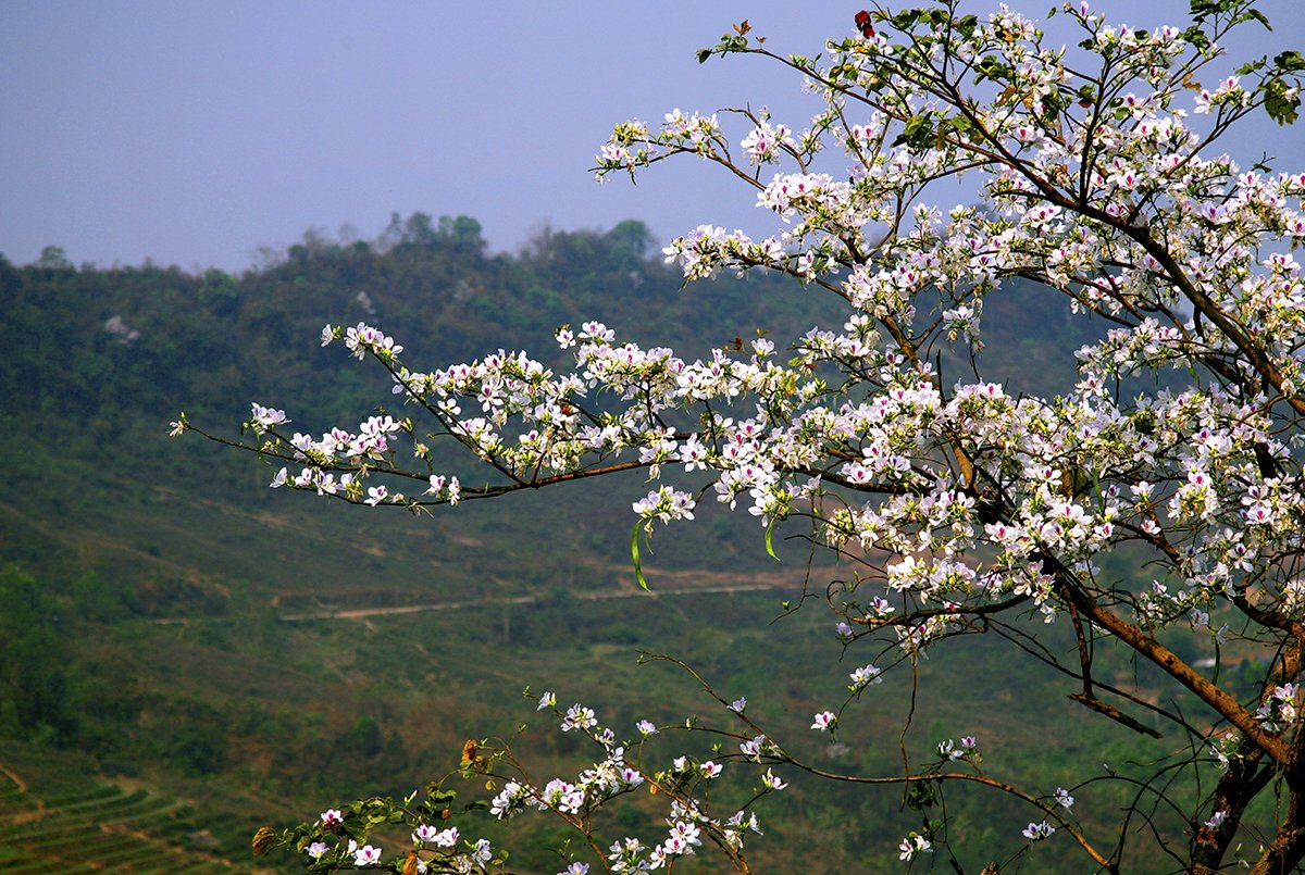
Ban flowers in Dien Bien (Photo: Collection)
Dien Bien has a tropical monsoon, high mountain climate, cold with little rain in winters, hot and high rainfall in summers, influenced by dry and hot west winds. The dry season lasts from October to April of the following year, the rainy season is usually from May to August. The most sunshine is in the months of March-April and August-September.
With many historical and cultural heritages, Dien Bien is an attractive destination for tourists who like to explore and experience not only beautiful natural landscapes, but also famous historical relics. Besides, this place is also known for its rich national culture, with many festivals and unique highland cuisine. All these factors have made Dien Bien becoming the potential land to develop historical, cultural and spiritual tourism, as well as ecotourism.
How to get to Dien Bien
To reach Dien Bien, visitors can start from Ha Noi or Ho Chi Minh City. The fastest way is by aeroplane, Dien Bien has convenient air connections with major passenger centres including Ha Noi and Ho Chi Minh City. After a period of closure for upgrading, Dien Bien Airport has been welcoming passengers again on 2nd December 2023. The length of flight is about an hour and 15 minutes via Vietnam Airlines, Bamboo Airways, Vietjet Air from Ha Noi.
To enjoy the scenery, visitors can choose to drive to Dien Bien. Since the province is the gateway connecting roads with famous tourist destinations in the Northwest such as Son La, Lai Chau, Lao Cai, it would be a perfect combination. Visitors can follow CT08, CT02, QL6 through Hoa Binh Province or follow route DT87, QL32, QL37 through Hoa Binh and Son La. Driving time will be ranging from 8 to 10 hours depending on traffic conditions.
If you are too lazy to drive, there are coaches taking you to Dien Bien. You can book tickets directly at the bus companies or through online ticket booking websites. Transport time is 10 to 12 hours.
One of the specialities on the way to Dien Bien is to get to Dien Bien Phu City, you must pass Pha Din Pass - one of the four great passes of Vietnam. Pha Din Pass is located on the border between Thuan Chau District (Son La Province) and Tuan Giao District (Dien Bien Province). The pass is 32 km long.
Where to stay in Dien Bien
Accommodations in Dien Bien gather mostly in the centre city of Dien Bien Phu, with diverse room types, from motels, homestays to 3-4 star hotels such as Muong Thanh Dien Bien Hotel, Him Lam Hotel, Dien Bien - Hai Van, Phuong Nam, and An Loc, etc. Some homestays suggested by the Tourism Promotion Information Center of Dien Bien Province include: Muong Then, Phuong Duc, Dien Bien - Rose Valley, Nang Ban.
Discover unique experiences in Dien Bien
A1 Hill
Located in Muong Thanh Ward, Dien Bien Phu City, A1 Hill was one of the most important bases of the battle, considered the "bottleneck" protecting the central area.
The name A1 is the name the Vietnamese military gave the hill, before that there were many other names. Around A1, the French army built a system of barbed wire fences of all shapes. On top of the hill was a fortified cellar, which was the wine cellar of the French legation before 1945. The cellar was divided into two compartments, one of which was the workplace of the radio information department. The cellar was made of sturdy materials, solid brick walls, and a thick concrete roof, which can serve as a hiding place for dozens of people. On A1 Hill, there are still traces of a blast hole created by 960 kg of explosives.
At A1 Hill today, besides sightseeing, visitors can also experience a number of practical activities such as cooking soldiers' rice with Hoang Cam stoves (a field stove, has 3 tripods, can be conveniently carried with you, and does not produce smoke when cooking), pushing bicycles to transport necessities, and listening to stories about the battle of Dien Bien Phu campaign and the lives of soldiers in combat.
De Castries bunker

Inside the De Castries bunker (Photo: TITC)
General De Castries' command bunker was built by the French colonialists, in the centre of the Dien Bien Phu stronghold group, in Muong Thanh field. The bunker is located about 1 km from A1 Hill and is known as "the most solid bunker in Indochina". Surrounding the bunkeris a defensive fence with a dense barbed wire system and four tanks. The bunker is 20 m long and 8 m wide, including four rooms used for both the living and working places of General De Castries and his soldiers. Currently, the structure and layout of the bunker are still maintained for visitors to visit.
Dien Bien Phu Victory Museum
Dien Bien Phu Victory Museum is located in Muong Thanh Ward, opening for visitors from 5th May 2014 after 19 months of construction. This is a work of great historical, cultural and artistic significance.

Dien Bien Phu Historical Victory Museum is designed like a mesh hat, covered with camouflage leaves of Dien Bien soldiers (Photo: Dien Bien Provincial Department of Culture, Sports and Tourism)
The museum is designed in the shape of a former Dien Bien soldier’s mesh hat covered with camouflage leaves. representing the camouflage net of a soldier's helmet, including a basement and an upper floor. The basement is a place to welcome visitors, a space for learning, interaction and entertainment services. The upper floor is a thematic exhibition space for the victory of Dien Bien Phu. The surface has an area of 1,250 sqm. with nearly 1,000 documents, artefacts, images, and maps.
The special highlight here is the panorama painting with more than 4,500 characters, 132 m long, 20.5 m high, 42 m diameter, 6 m relief, total area more than 3,200 sqm. The painting was painted in oil on canvas from November 2019 and completed on 1st May 2021, with the participation of about 100 artists. The stages of the 1954 Dien Bien Phu Campaign are shown continuously and impressively through each drawing.

A monumental panorama painting, faithfully recreating moments in the Dien Bien Phu campaign (Photo: Dien Bien Provincial Department of Culture, Sports and Tourism)
Pha Din Pass


Pha Din Pass (Photo: Collection)
Pha Din Pass is 32 km long, belongs to National Highway 6, and is the gateway to Dien Bien Province. The highest point of the pass is 1,648 m above sea level, one side is a cliff, and the other is an abyss. This is also the starting place of the journey of pulling artillery, transporting food, weapons and ammunition using human power of Vietnamese soldiers and people during the Dien Bien Phu campaign.
Pha Din Pass is no longer as dangerous as before, the narrow roads have also been widened but there are still zigzag roads up and down and countless curves. On Pha Din Pass, there is the Pha Din Pass tourist area, a stopover for tourists to rest and admire the scenery, and at the same time a place for exchanges between people of Dien Bien and Son La provinces.
Muong Thanh Field and Nam Ron River

The famous Muong Thanh field (Photo: Dien Bien Provincial Department of Culture, Sports and Tourism)
Located in the middle of the Dien Bien concave, Muong Thanh Field is like a giant "warehouse" filled with corn and rice. From the end of September, rice in the Muong Thanh begins to ripen. Located at an altitude of more than 400 m above sea level, Muong Thanh field stretches more than 20 km, with an average width of 6 km. Looking down from above, the Muong Thanh field running along the banks of the Nam Rom River spreads out like flower petals embracing the historical relics of the Dien Bien Phu battle.
Muong Nhe and A Pa Chai - the westernmost point

Conquer the westernmost point of A Pa Chai with the pride of nation (Photo: Dien Bien Provincial Department of Culture, Sports and Tourism)
Muong Nhe is a district in the northwest of the province, where A Pa Chai - the westernmost point of Vietnam is located, the Vietnam - Laos - China border junction, about 250 km from Dien Bien Phu City centre. A Pa Chai is the most famous destination in Muong Nhe. The milestone in the westernmost point was installed by three countries on 27th June 2005, made of granite, with each side engraved with the country's name and national emblem.
Besides, the district owns Muong Nhe Nature Reserve with a total area of nearly 310,262 hectares, about 118,000 hectares of primary forest land covered with many rare forest trees. According to research, the reserve has about 37 types of rare animals such as sun bears, tigers, red wolves, and pangolins. Muong Nhe Nature Reserve also owns more than 308 plant species of high scientific value. Among them are more than 68 rare species of traditional medicines.
Looking down from above, you feel this Dien Bien destination is like a beautiful picturesque painting. You will see brilliant green colours mixed with the brilliant yellow of wild sunflowers. On the way to the top of the mountain, you will admire different species of trees with extremely diverse sizes.
A Pa Chai
For young people who are passionate about adventurous backpacking and mountain climbing, A Pa Chai is a tourist destination in Dien Bien that cannot be missed. A Pa Chai located in Sin Thau Commune, Muong Nhe District, is westernmost point of Vietnam. It is also the place connecting Vietnam’s boundaries with Laos and China. Walking along the mountain range, you will discover the wild beauty surrounded by majestic high mountains, or terraced fields with fragrant ripe rice.
To have the best moments when coming to this place, you should come here in mid-January and February to see the images of farmers next to the green rice fields. Or visit from September to December, when A Pa Chai is immersed in the bright yellow colour of ripe rice fields, which is also the season when wild sunflowers begin to bloom.
Besides, the experience of climbing mountains and conquering milestone number 0 is probably attractive to most tourists coming here. The place with the most beautiful sunset view when coming to Dien Bien. However, you need to note that A Pa Chai belongs to the border area of our country, so if you want to conquer this mountain range, you need to bring all kinds of identification documents to register at border station 317.
On the 3rd, 13th and 23rd days of every month is the market days at A Pa Chai, a cultural beauty of the border region.
Tua Chua Rock Plateau
Tua Chua Rock Plateau is located about 130 km from Dien Bien City centre, in Tua Chua district, 1400 m above sea level. This is the first limestone plateau, the highlight that creates the unique beauty of this locality.
Intermixed with the plateau are fields, houses and villages of the residents, creating a unique feature only found in mountainous tourist destinations.
Therefore, when you come to this attraction, you not only have the opportunity to take unique photos but also have the opportunity to learn and experience more about the culture, lifestyle and typical cuisine of the people.
Other spots to explore in Dien Bien include: Pa Khoang Lake - The lake has the largest width in Dien Bien, U Va Hot Springs, Ban Phu Citadel, Dien Bien Dong District, haunting clouds in Chop Ly, Muong Lay Town - the hometown of white Thai ethnic people,...
What to eat in Dien Bien
Cuisine in Dien Bien is vary, grilled chicken with Mac Khen, Pa Pinh Top (grilled fish), braised duck with banana flowers, ground pork steamed in banana leaves, rock moss, Cham cheo (traditional spices of the Thai people in the Northwest region)...
Tourism Information Technology Center